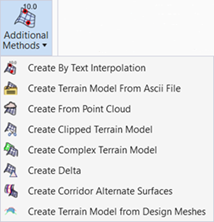
Create Terrain Model from ASCII File
 Used to import surface data in a variety of ASCII formats, and provides flexibility by letting you describe the format of files before you import them.
You can access this tool from the following:
The Create Terrain Model From ASCII File tool imports surface data in a variety of ASCII formats, and provides flexibility by letting you describe the format of files before you import them.

Surface Data
A surface data file may contain only random point, breakline, interior, exterior or contour feature information and one file may not contain more than one type of feature data. Each line represents one point. As each line is processed, the point described in the line is evaluated. The wizard next takes into consideration the fence option and feature type specified on the Surface Options dialog. If a fence exists and the selection mode is not Ignore, the point is added to an array if it honors the fence boundaries. If the feature type chosen is Random all of the points are inserted at the end of the import process, otherwise, the pencode is processed. (If a feature type that requires a pencode is selected and the wizard does not define a column as containing pencode data, and error message is given and import aborts.) If the point read is the first point or if the pencode indicates that a new feature should begin, the feature name is updated by either the name provided or the seed name. Once the data for one feature has been read, the feature is added to the specified surface and the process continues until all features have been added.
Data Example - Easting, Northing, Elevation, Pencode
47 417919.93 25.00 1
57 417912.36 27.97 0
67 417904.80 30.95 0
77 417897.23 33.92 0
87 417889.67 36.89 0
96 417882.11 39.87 0
06 417874.54 42.84 0
16 417866.98 45.81 0